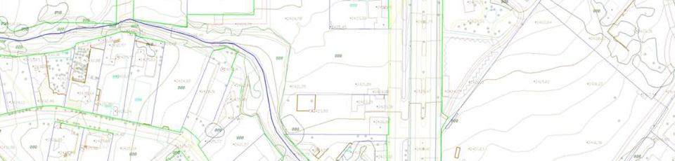
Topographic and Planimetric Mapping
Eastdawn's mapping team creates traditional large-scale topographic maps providing hydro-enforced contour lines, spot heights, natural and man-made features.
Eastdawn has strong talent for creating 2D or 3D vector maps with different scales, which are exported to a format supported by AutoCAD, Microstation or ArcGIS.
Planimetric features collected are dependent on the image resolution and typically include buildings, driveways, fences, road edges and centerlines, parking lots, all features associated with water and storm drainage, curbs, gutters, utility access covers and poles, culverts, guard rails, vegetation, trails and signs.