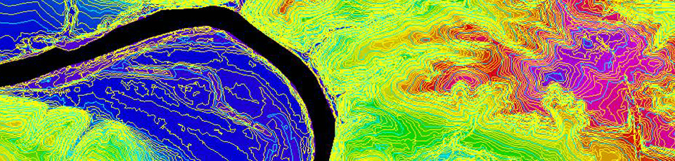
DEM, DTM Extraction
Using digital softcopy photogrammetric workstations, Eastdawn's photogrammetrists create digital terrain models (DTM) suitable for orthophoto creation, floodplain mapping or contour generation. Data sources include traditional and digital aerial imagery, satellite imagery and LiDAR data. Products can be provided as raster or TIN and can be output in a number of standard formats, including DGN, DWG and ESRI.
3D modeling, volumetric calculations and other applications require the creation of digital surface models (DSM). Contours are generated to customer requirements recognizing the tradeoff between accuracy and visual appeal. Vertical accuracy checks are completed, and a report provided when clients provide sufficient ground survey points to test the data.