Airborne Lidar
Eastdawn established its Lidar data processing unit in 2008. Since that time, the company has gained significant experience in calibration and classification of Lidar data in Asia and North America.
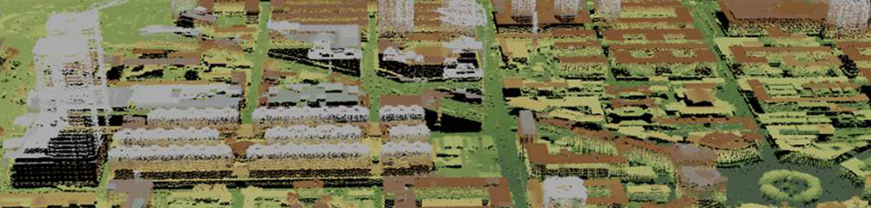
Lidar point clouds provided by the Eastdawn Lidar production team include Digital Terrain Models, Digital Surface Models, vegetation and building layers, power lines and 3D models. The point clouds can be conditioned to be used in the orthophoto creation process, 3D visualization or contour generation.
 Powerline classifications
 Bare earth classification
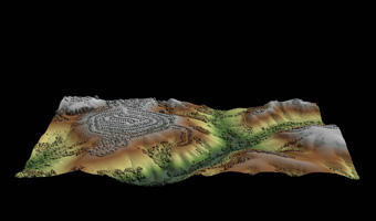
 Bare earth and canopy classifications
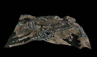
 Bare earth and building classifications
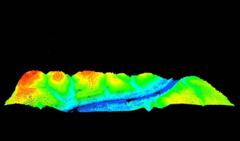
 Digital Surface Model