Mobile Mapping
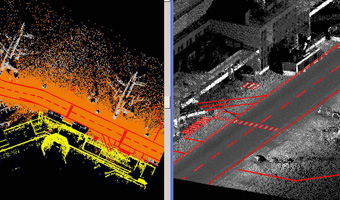
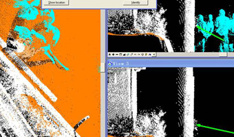
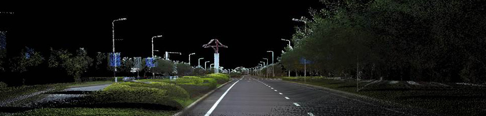
From its roots in processing airborne Lidar data, Eastdawn has gained experience in the processing of mobile mapping systems (MMS) data, achieving accuracies up to 5cm with high resolution scanning systems.
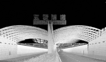
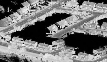
As with airborne Lidar processing, Eastdawn provides clients with point clouds that can be conditioned to be used in 3D visualization data sets for corridor mapping applications including road and rail projects, as well as GIS.
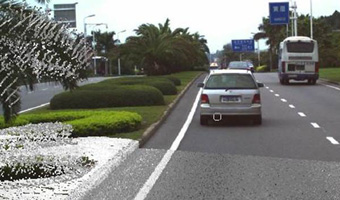
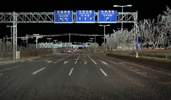
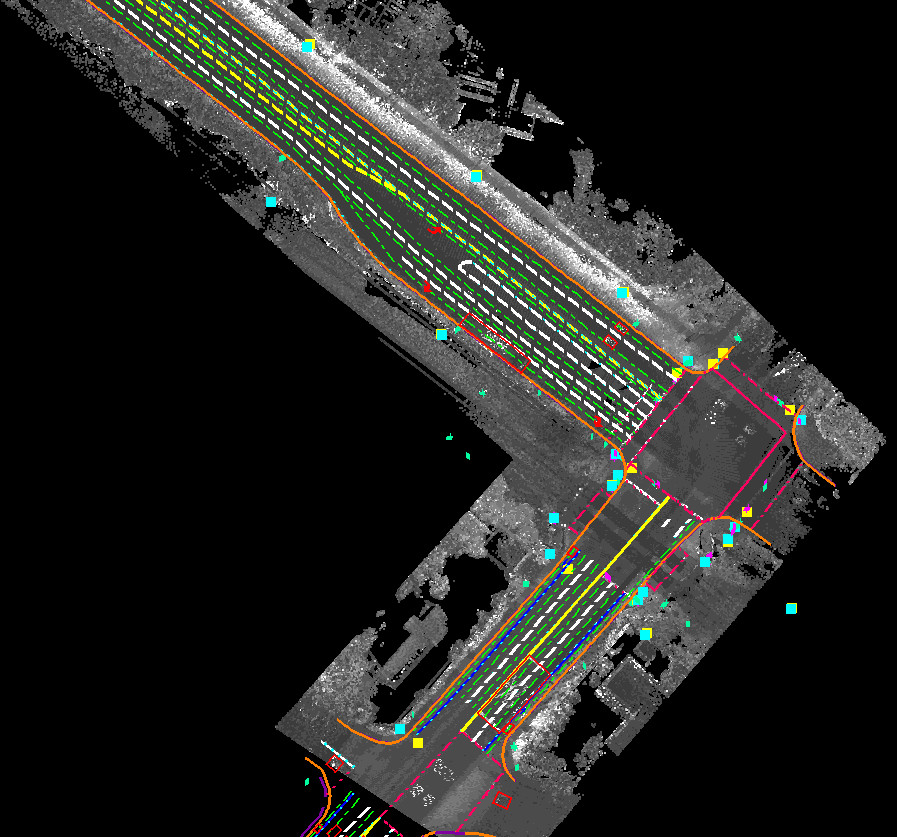
Most recently, Eastdawn has created maps in support of the autonomous vehicle market. Projects have been completed in North America and Asia accumulating over 10,000 line kilometers including over 6,000 road crossings. Services provided include relative Lidar calibration and feature extraction. Extracted features such as paint markings, road edges, signs, signal lights and light posts etc. depend on clients’ specifications.